Tools
Tahoe National Forest
-
Sierra Nevada Watershed Assessment Scorecards
 Explore
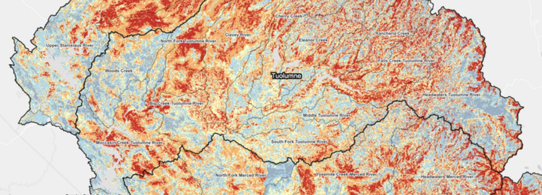
The Blue Forest science team, led by Tessa Maurer, PhD, has worked with research partners and stakeholders to develop this interactive dashboard in which users can explore how forest restoration can address the risk of wildfire and the opportunity to enhance water supply in the Sierra Nevada.
-
Hypothesized Forest Snow Classes
 Explore
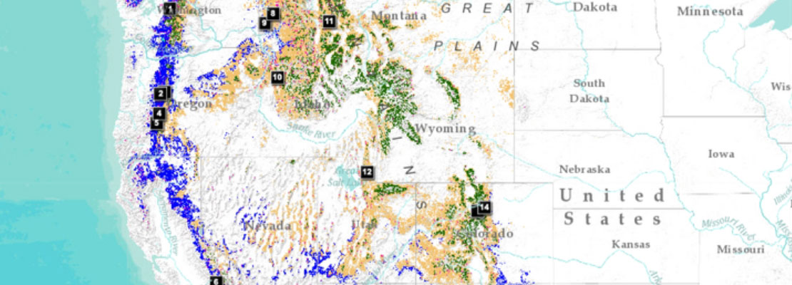
Forests affect the amount of snow that accumulates on the landscape and how long it lasts before melting. Thus, the removal of forest canopy via timber harvest, thinning, or fire influences how long water is stored on the landscape as snowpack and released in the spring and summer for soil storage, streamflow, and water consumption.
-
Center for Ecosystem Climate Solutions Data Atlas
 Explore
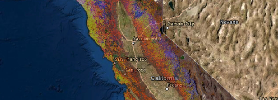
The Data Atlas was developed by Blue Forest’s partner organization, the Center for Ecosystem Climate Solutions (CECS), a University of California organization supported by the California Strategic Growth Council’s Climate Change Research Program.
-
Native-Land.Ca Interactive Map
 Explore
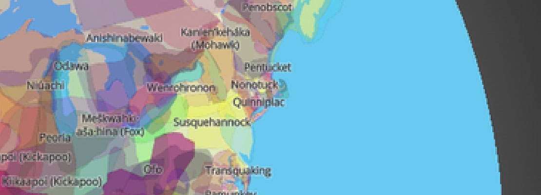
Native Land strives to create and foster conversations about the history of colonialism, Indigenous ways of knowing, and settler-Indigenous relations, through educational resources such as the Native-Land.ca map. The map is not to be used as an academic or legal resource.
-
Forests to Faucets 2.0 Data Explorer
 Explore
The National Forests to Faucets 2.0 (F2F2) Assessment is a geographic analysis done by scientists in the US Forest Service that uses national datasets to identify watersheds most important to surface drinking water consumers and to look at potential threats to those watersheds including fire, insects and disease, land use change, and reduced water yield due to a changing climate.
